 |
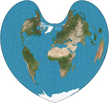
The Bonne projection is a pseudoconical equal-area map projection named after Rigobert Bonne (1727–1795). In the projection, parallels of latitude are concentric circular arcs, and the scale is true along these arcs. Shapes along the central meridian and the standard parallel are not distorted. Map: Strebe, using Geocart
|
from Wikipedia picture of the day feed http://ift.tt/1mHiTHw
0 comments:
Post a Comment