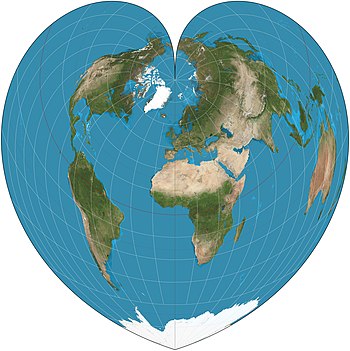
 | The Werner projection is a pseudoconic equal-area map projection. This cordiform (heart-shaped) projection originated in the 16th century. It is a limiting form of the Bonne projection. Distances along each parallel and along the central meridian are correct, as are all distances from the North Pole. Map: Strebe, using Geocart |
from Wikipedia picture of the day feed http://ift.tt/17vufqV
0 comments:
Post a Comment